Pivot Point Field App Overview
Pivot Point Field App is a specialized native mobile application tailored for local government field appraisal tasks. It empowers field appraisers to efficiently handle their workload, seamlessly capture and assign images to the correct parcel, and revise various property details. The app leverages a cloud-hosted administration site for user management, dataset configuration, data importing and exporting, and data review.
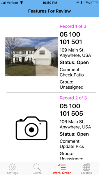
The app's core features include the ability to search parcels by ID, address, or user location using GPS data, presenting nearby parcels sorted by proximity. Users can view imported property attributes, access web-based resources, and navigate to locations via lat-long or address search. The app facilitates image capture with location and structure type tagging, text descriptions, and note-taking at a parcel level.